Built for high‑security, high‑stakes infrastructure projects across Oklahoma.
Drone Photography And Video
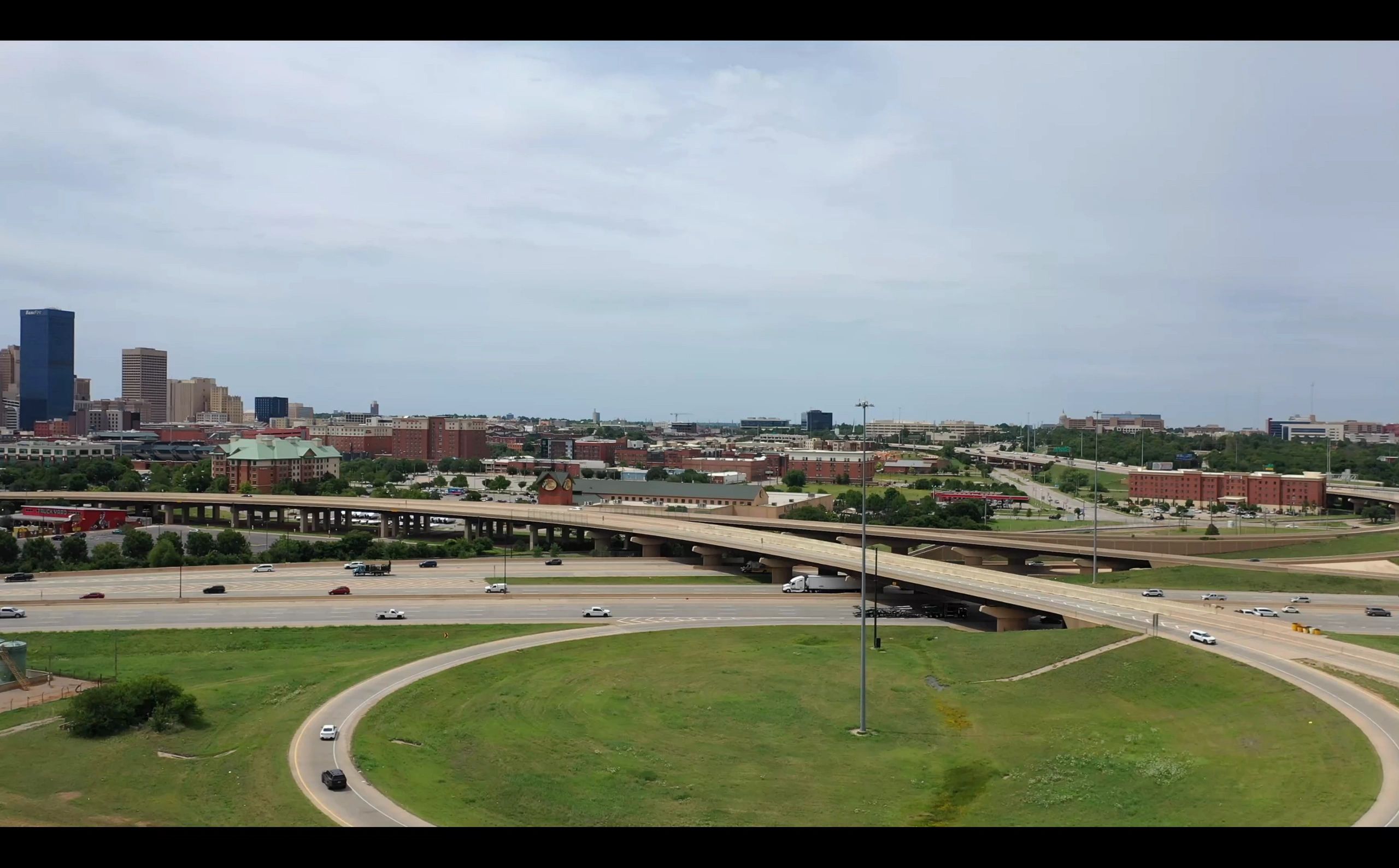
Serving 73142 and nearby areas, we provide expert aerial photography and videography.
Built for high‑security, high‑stakes infrastructure projects across Oklahoma.
Serving 73142 and nearby areas, we provide expert aerial photography and videography.

For 8+ years, AerialAssetReport has provided FAA Part 107–certified drone photography and video in Oklahoma City, serving NW OKC and nearby ZIP codes (73142, 73134, 73129, 73162, 73099).
We deliver safe, reliable, high-quality aerial imagery for real estate, construction, events, and inspections.
📞 405-800-3739

We use high-resolution drone cameras to capture real estate properties, construction sites, commercial projects, and landscapes with precision and clarity. Serving Oklahoma City, the 73142 area, and surrounding communities, AerialAssetReport provides professional aerial photography and cinematic drone video tailored to real estate, construction progress tracking, inspections, marketing, and site documentation.
Our drone services are designed to adapt to the needs of real estate agents, developers, construction managers, business owners, and clients across a wide range of industries. Every flight is conducted with a focus on safety, FAA compliance, visual quality, and detailed storytelling to help showcase your project from a unique aerial perspective.

AerialAssetReport provides dependable commercial drone services throughout Oklahoma City, including the 73142 area. We deliver clean, high-quality aerial photography and cinematic drone video for marketing, inspections, construction progress, real estate, and project documentation—all with reliable turnaround times and competitive pricing.
Our aerial content helps businesses, property owners, contractors, and real estate professionals showcase projects from a unique and professional perspective. Whether you need one-time drone coverage or recurring site updates, we tailor our services to match your project goals and schedule.
Ongoing coverage packages and repeat service discounts are available for long-term and returning clients. Every flight is completed with a focus on safety, FAA compliance, visual quality, and dependable service.
We're rewriting the rules of 2D aerial mapping, introducing a groundbreaking approach that seamlessly blends the power of aerial photo mosaics and Top-Down Drone Mapping.
In this advanced space, we harness AI-driven technology to provide you with precision aerial mapping that exceeds expectations. Whether you're exploring sprawling landscapes or intricate terrains, our focus on topographical features ensures you capture the data you need with unmatched accuracy.
Step into the realm of Top-Down Drone Mapping and merging, where the sky is no longer the limit. Here, precision meets the boundless horizon, and aerial mapping ascends to an entirely new realm of insight. Join us on this transformative journey, where your mapping needs are met with unprecedented innovation.
